 |
|
|
Topographical House Survey For a planning application, accurate measurements of the existing property, its height and relation to its neighbours had to be taken. Ground control points were used to increase accuracy. 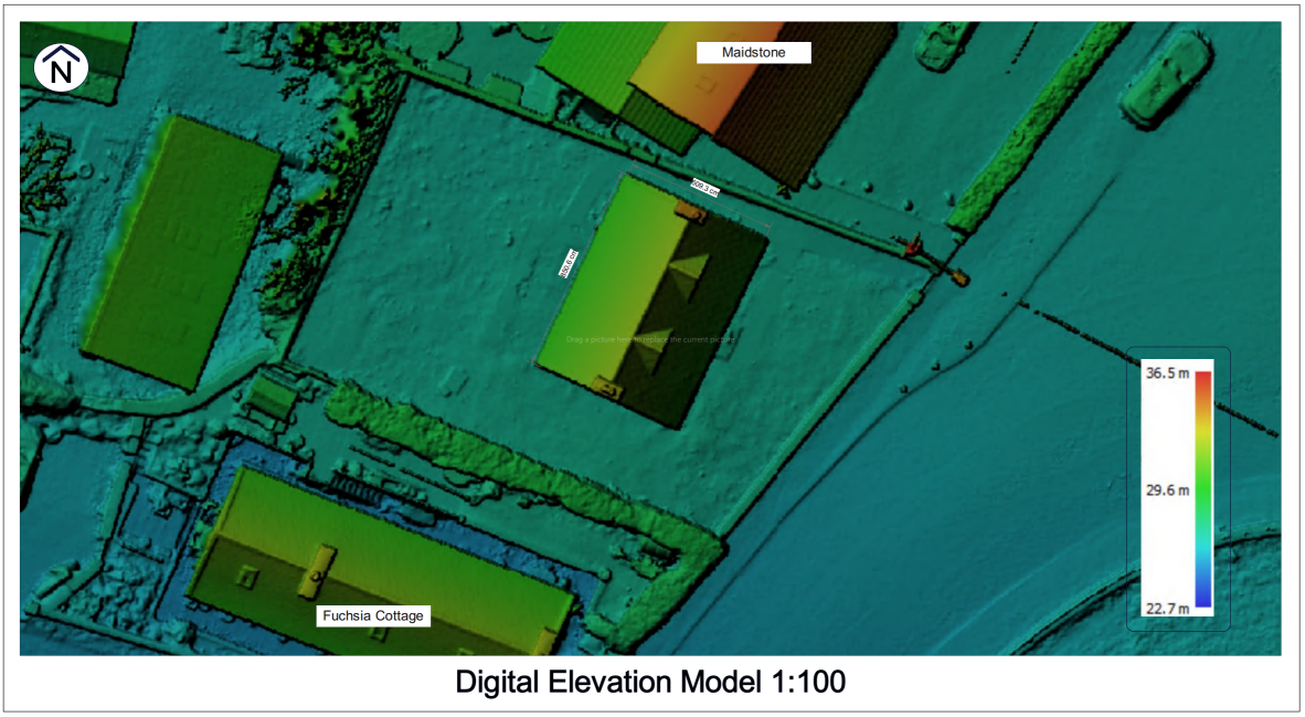
Existing services marked on the topographical plot. Later on a requirement for a drive way, which measured visibility splays from the generated model, ensuring correct line of visibility. 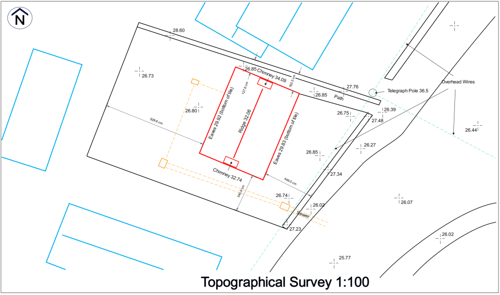
Techincal Aspects Site consisted of 1,000 m2, residential area. We deployed smaller drones mitigating risks, accuracy was achieved through PPK ground control points. These points were layed and measued with RTK correction from our fixed base station. Data was delivered in the form of a topographical pdf for planning application which was sucesssful. Submitted documents: Existing site survey Topographical survey Main Index |
|
Call 07624 278693 | Email steven.elkins@dronesurvey.im |
|
| © 2026 Illustrate Ltd t/a Drone Survey. Celebrating 20 years of business, Company number 116227C, VAT GB002521343. |